I had spent a week in the mountains in Merida and wanted to spend now a week on the beach. I drove for about fifty kilometers when yet another road block stopped the whole traffic. I left the car and the air condition running and waited in the car. Just when I decided to have a look, a police truck with heavily armed police troops passed me and went to the front. I decided now to not have a look and just wait a bit instead. I cannot tell what the reason of today’s road block was because the police managed to clear the way and I could continue.
Please click on “View Album” to see pictures in a Google+ Album.
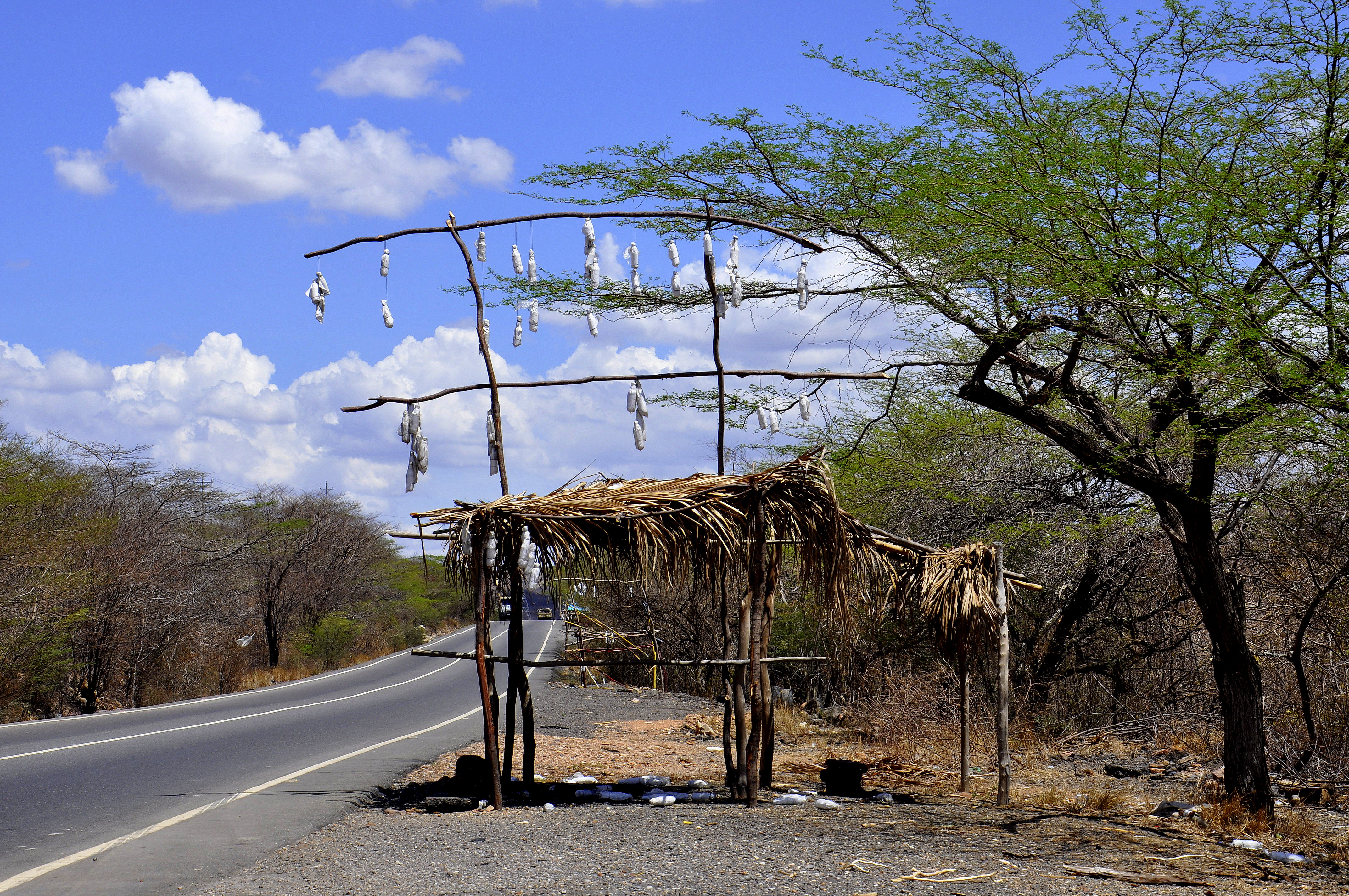
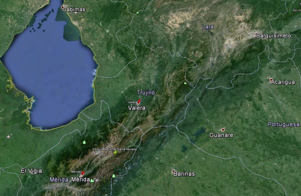
I started yesterday in the valley of the city of Merida at almost 30 degrees and drove up to the mountain pass “The Eagle” at a little bit more than 10 degrees to drive to the city of Valera at almost 30 degrees again. Now I worked my way up bit by bit up to 32 degrees, 34 degrees, 36 degrees and finally to 38 degrees. The nature changed accordingly bit by bit and the trees got lower and lower and the color changed from green to brown.
Please click on “View Album” to see pictures in a Google+ Album.
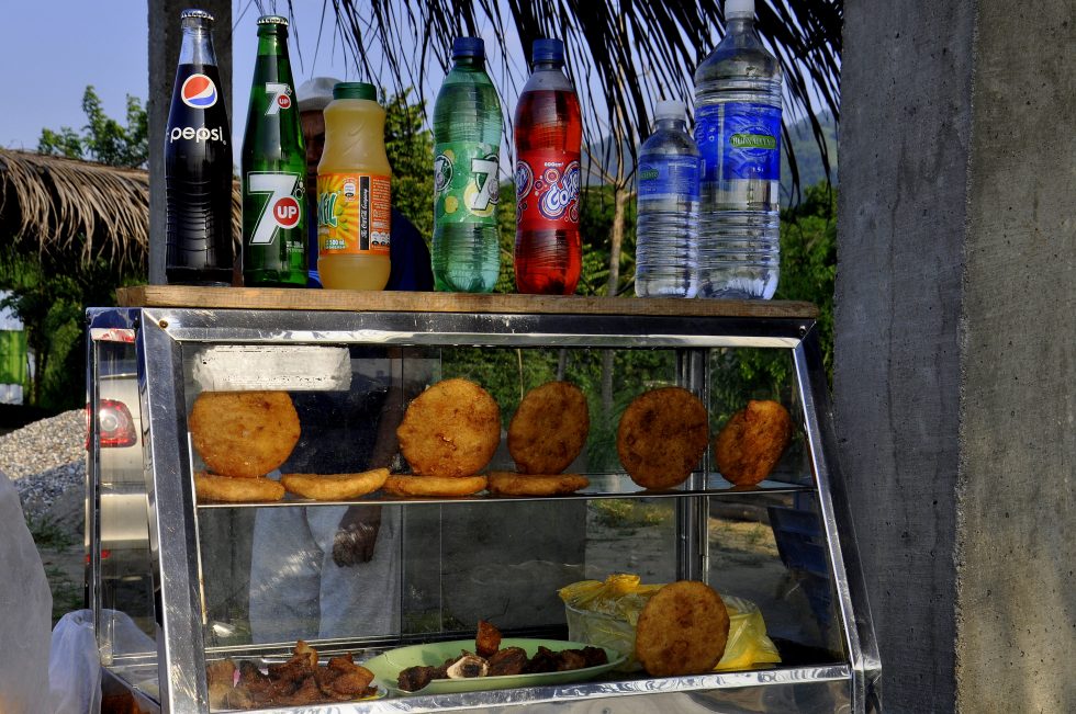
I arrived at lunchtime in the industrial city of Barquisimeto, the fourth largest city of Venezuela. I had no intention to stop but my thirst and hunger were too strong and suddenly there it was again, right in front of me at the biggest roundabout of the city and the entrance to a shopping; the big yellow M sign. I could not resist.
I drove to the parking, took my ticket and went to the M sign. I had only a Duo menu, a Cheeseburger and a Pepsi, paid my ticket, back to the car, back to the roundabout and out of the city.
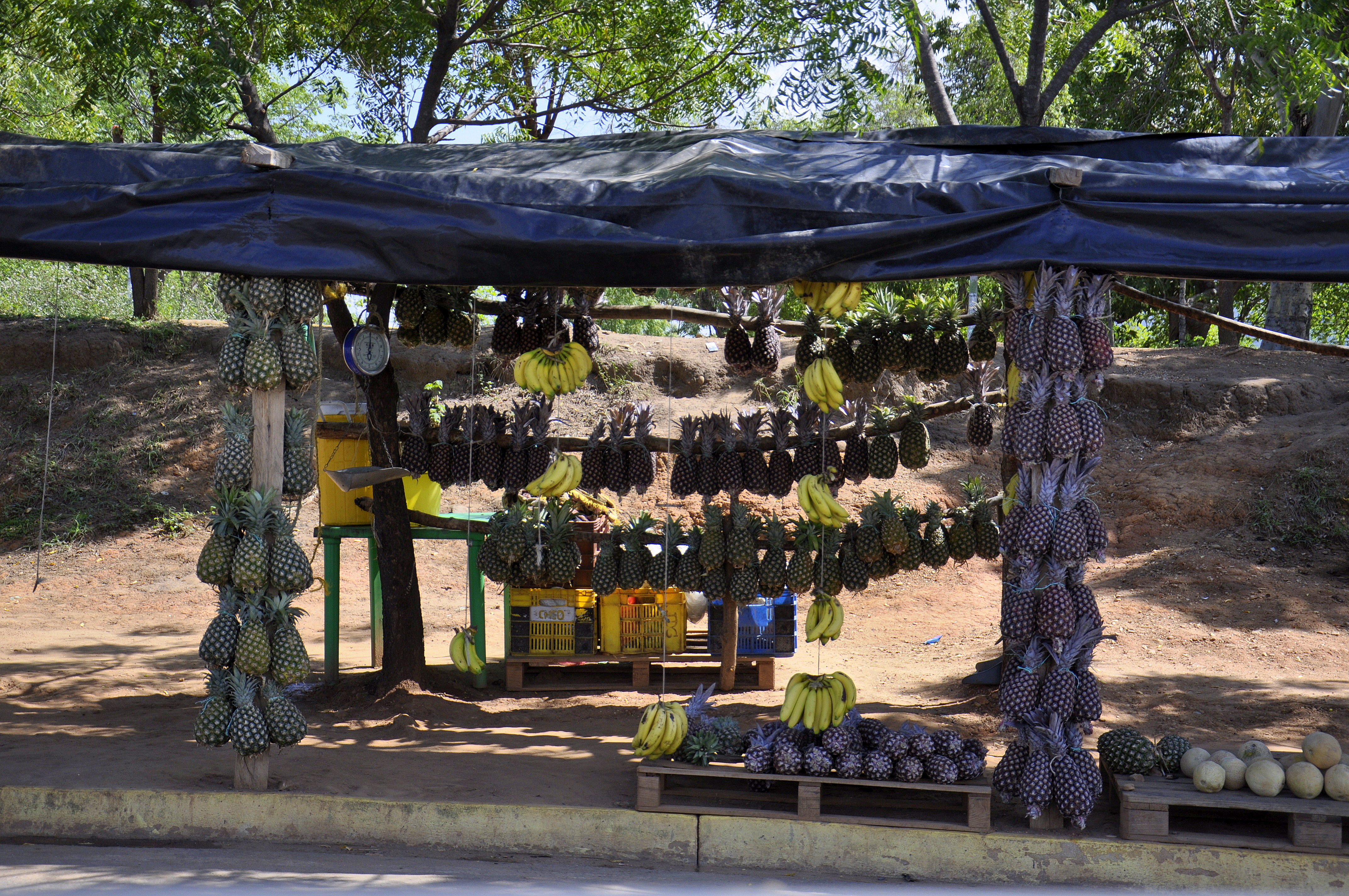
I wanted to drive back to the Nacional Park Morrocoy where I had stayed already for two days on my way to the Colombian border. The nature changed again and the colors went back to green again, the trees became taller and my favorite tree, the palm tree appeared. Just another half an hour and I would meet the sea and another half an hour and I would be at my destination. Once I had reached the sea and was back on the road to the Nacional Park Morrocoy again, the same road from two weeks ago, I remembered the villages again, the petrochemical factory Hugo Chaves and my palm trees.
The Nacional Park Morrocoy is accessible from two villages, Tucacas and Chichiviriche. The main attraction of the Park is the various beaches on the islands or cayos. There are probably about ten main beaches distributed throughout the Park; I wanted to visit at least three or four different. The wildlife and several caves are the other attractions; I wanted to see the caves and expected to see the wildlife on all days just in a different environment.
Please click on “View Album” to see pictures in a Google+ Album.
Tonight I wanted to see my bakery to have a pizza and my hospital parking to have a sleep. The village was busier than last time and I still expected weekend tourists to come. I am sure that in the high season in the summer the city is exploding like most beach destinations around the world during the peak season. I had a feeling though that I am going to have the Park just for me.
For a small understanding of the days travel, I have included a Google Earth map. The red pins mark the locations I have stopped and taken pictures. At the bottom of the page you will find a link for all the pictures I have taken. The link will open in a Google+ Album.
Please click on map to enlarge!!!
See map and distances / Siehe Karte und Entfernungen / Ver mapa e distâncias / Ver mapa y distancias
0 km Valera
135 km Carora
235 km Barquisimeto
315 km San Felipe
420 km Morrocoy
Please click on “View Album” to see pictures in a Google+ Album.

Leave a Reply