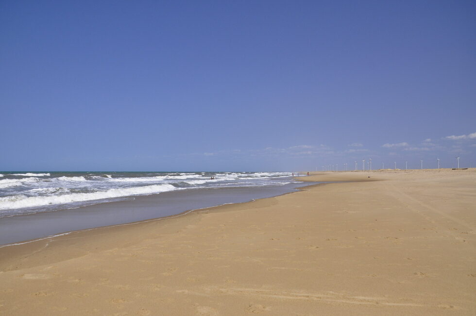
I would soon realize, that as good as the planning and the road maps are, that reality turns out to be different, from very different to slightly different, roads from weather affected to simply not existing or disappeared. The beginning of the today’s tour was very panoramic again and reminded me of the impressions I still had in mind from the travel in the Midwest of the United States, road up to the horizon and endless emptiness, timeless emptiness.
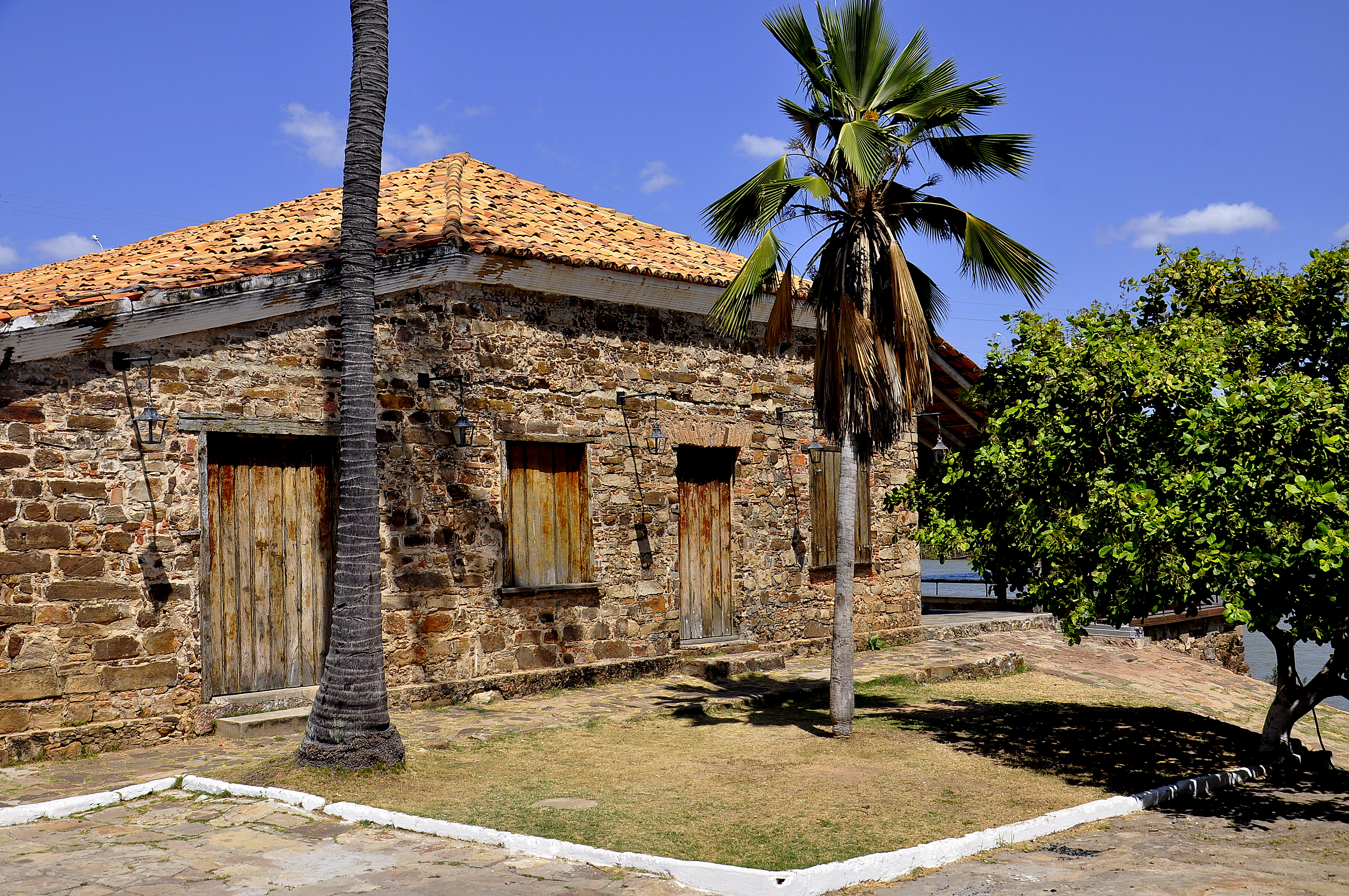
I arrived in Parnaiba, the biggest city of the state, the huge state of Piaui with only 50 km of coastline and parked opposite the historical center underneath the bridge crossing one of the arms of the river Parnaiba. The city is entrance to tourist excursions into the delta, very well preserved, well presented, very quiet and organized. Whenever there is internet, I chose to work on something, so I wrote, changed and uploaded various things from the last two days.
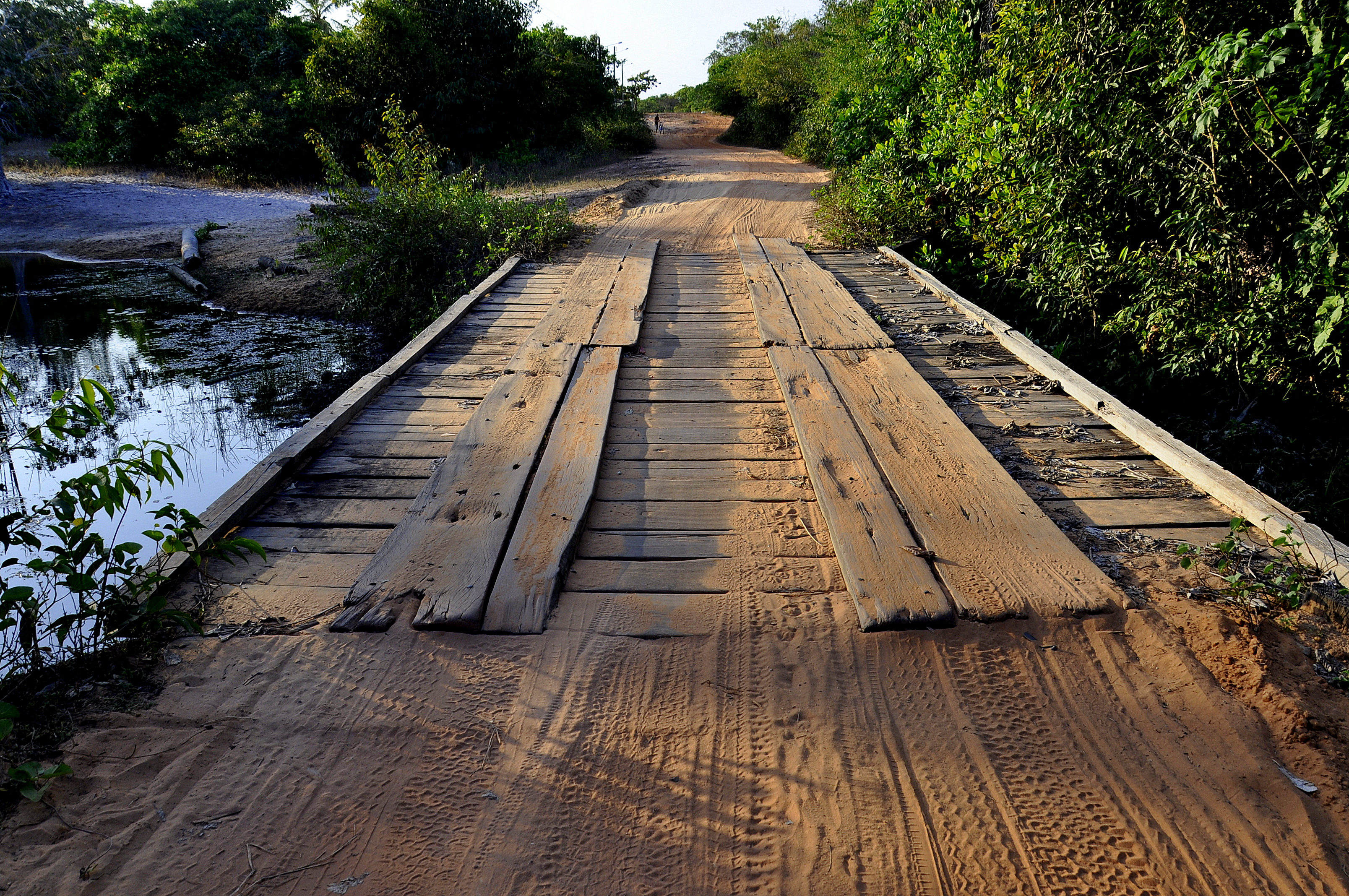
The historic center had a small river arm which gave you the feeling of the delta but I wanted to go a bit further and see what I could grasp without being grasped by tourist pirates. Everything was extremely calm and it turned out that the city would have its yearly anniversary and everybody was preparing for the long weekend. I was not grasped and enjoyed other river arms and dunes and the beach. Getting back everything was closed and the streets were dead, Christmas dead.
Please click on “View Album” to see pictures in a Google+ Album.
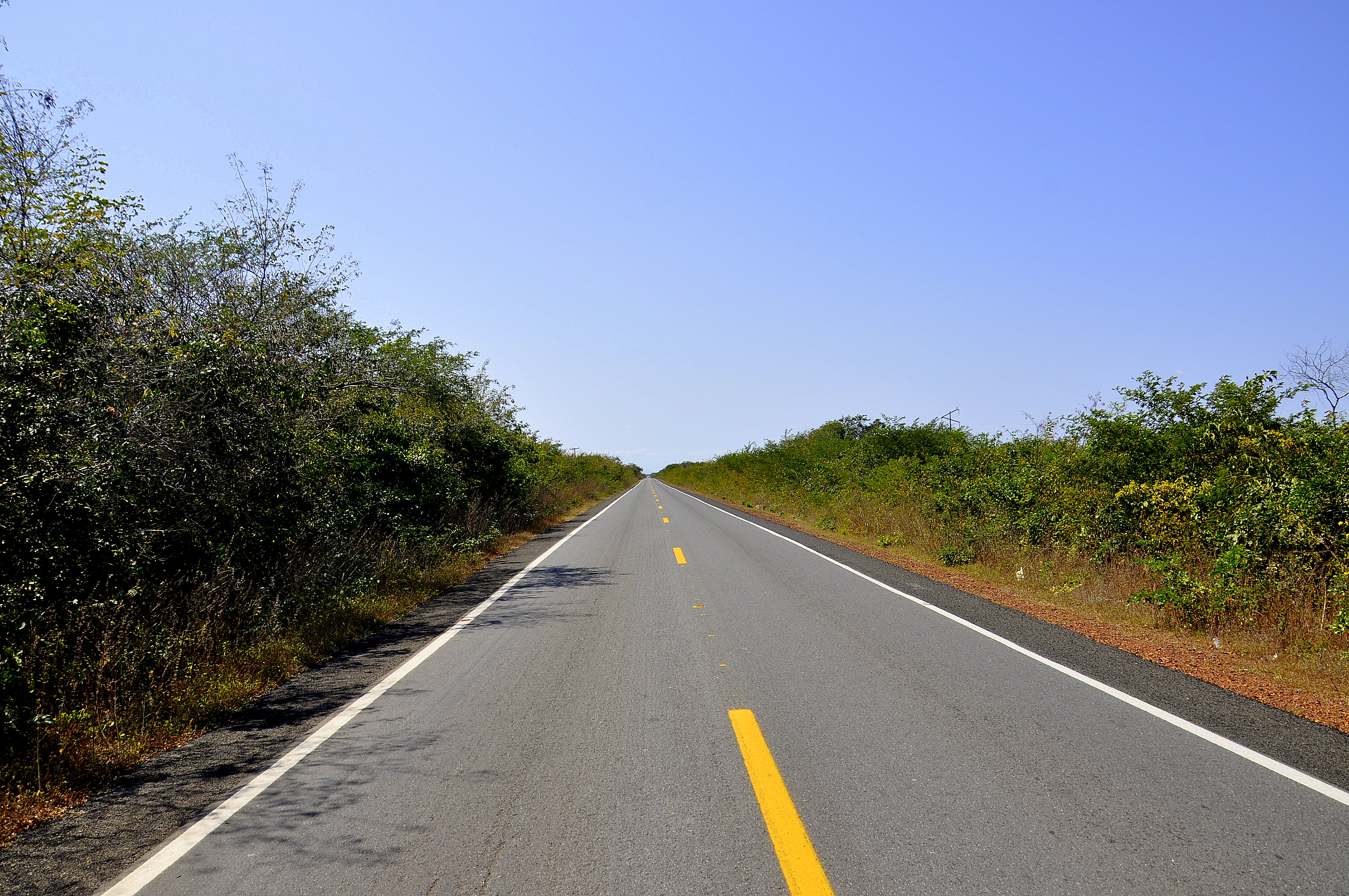
I decided to continue and gain some kilometers. At this stage I could not foresee when or if I would need them, but looking at the map I realized that there is still a long way to go, a long way ahead of me. Access now to the coast became more difficult and you had to drive back certain kilometers on the road you came, kind of zig-zag driving.
I decided, actually insisted to take the road that I had prepared to take from Google Earth and Google Maps. I disrespected the comment that the road would be full of potholes and drove into the night on a gravel road, which soon turned into a sand road. I also underestimated the distance of that part and the possible maximum speed made this little bit of drive to a long journey. It felt too long and at certain parts I got worried a bit, crossroads without anybody to confirm direction or crossing traffic on a single lane. Finally I was relieved to be on an asphalted road again and was hoping to keep that day in mind for the future and listen to local advice.
PPlease click on “View Album” to see pictures in a Google+ Album.
For a small understanding of the days travel, I have included a Google Earth map. The red pins mark the locations I have stopped and taken pictures. At the bottom of the page you will find a link for all the pictures I have taken. The link will open in a Google+ Album.
Please click on map to enlarge!!!
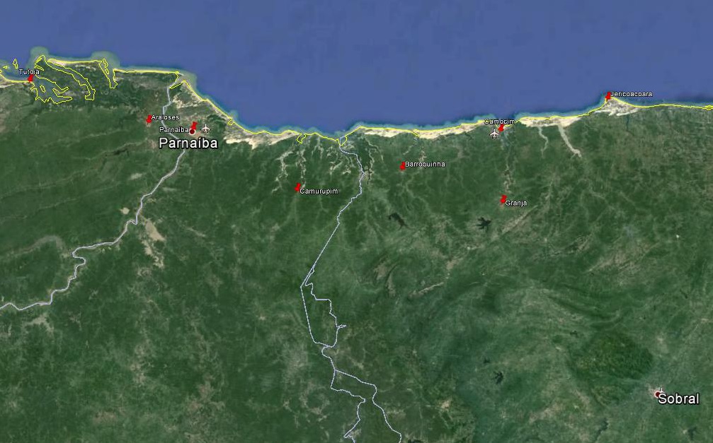
See map and distances / Siehe Karte und Entfernungen / Ver mapa e distâncias / Ver mapa y distancias
0 km Jericoacoara
50,0 km Granja
85,0 km Camocim
120,0 km Barroquinha
190, 0 km Camupurim
215,0 km Parnaiba
285,0 km Araioses
360,0 km Tutoia
Please click on “View Album” to see pictures in a Google+ Album.

Leave a Reply