I had planned a mountain tour for today again and started to leave the city towards the south. Just outside the city the road divided and I drove up into the mountains instead of down into the valley. The road was in good condition and the higher I drove, the more open the views became towards the valley and the city of Merida, Ejido and the Sierra Nevada on the opposite side. I came to the pass and entered a beautiful highland area.
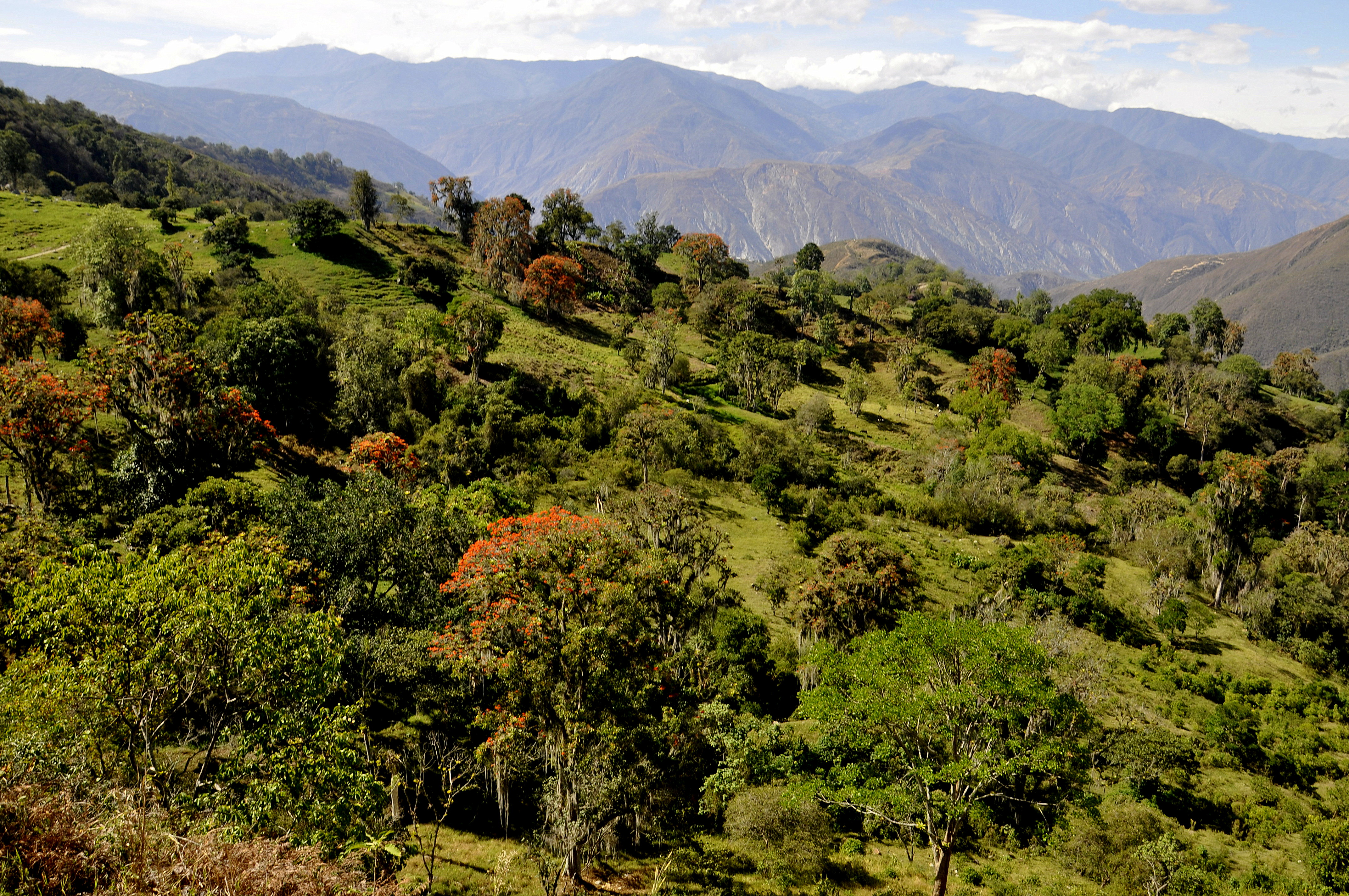
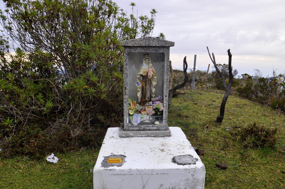
After half an hour more I could see the clouds enter in the valley ahead of me and I was slowly going downhill and about to enter these clouds; everything turned from colored to grey. I came to the village of La Azulita at lunchtime and met exactly the visitors of today’s church ceremony when they left the church to take the walk around the main square.
The main square had Wifi and I looked up information about more possibilities for me to continue my mountain day. I had the choice to simply go back to Merida the way I had come or continue all the way down to Lake Maracaibo, drive for about one hour to find the entrance into the mountains again and go back kind of in a full circle and complete a real round trip.
Please click on “View Album” to see pictures in a Google+ Album.
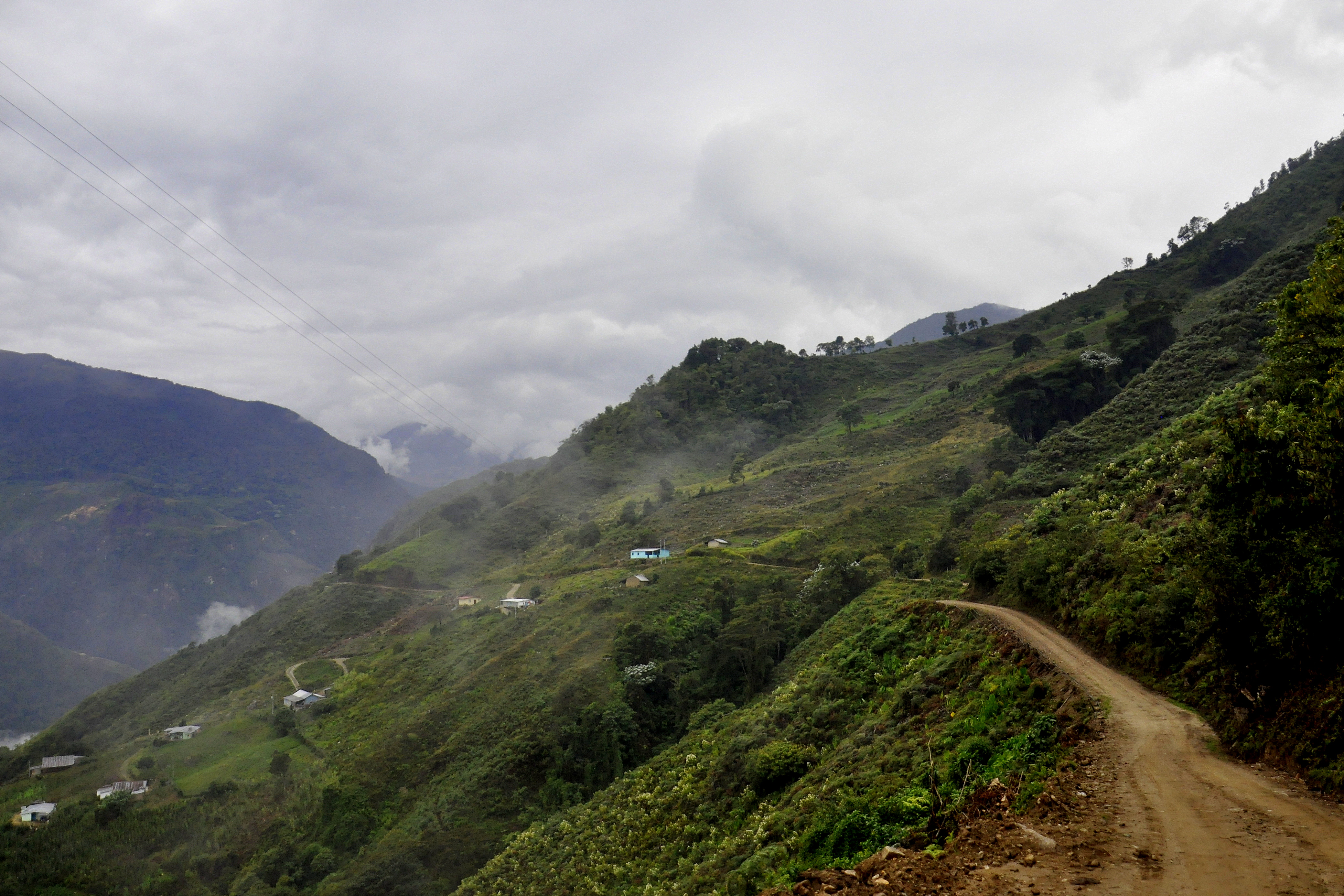
Suddenly I had again temperature of 36 degrees at Lake Maracaibo and drove quickly to locate the turning back into the mountains. The round trip started very steep up into the hills but on a cemented road. I reached the first village and asked for the way to Merida. The friendly man showed me the way around the village square but added as well if I am sure to go with my car. I respected his doubts and answered that if I would not make it, I would be back and stay for the night.
The 180 degrees curves became steeper and steeper and the cement faded away. Suddenly I found myself behind a truck bus transporting people and after yet another curve I hit a deep hole. The noise the hit made hurt in my ears and the sweet sound of the air coming out of my tire hurt everything else in me. I drove on hoping to find a flat area and stopped the car in one of the next curves in front of a house. I changed the tire always thinking the support for the car would slip away and the car would slide back and down the hill. With just a little bit of help of the owner of the house I changed the tire and was still hopeful to continue.
Please click on “View Album” to see pictures in a Google+ Album.
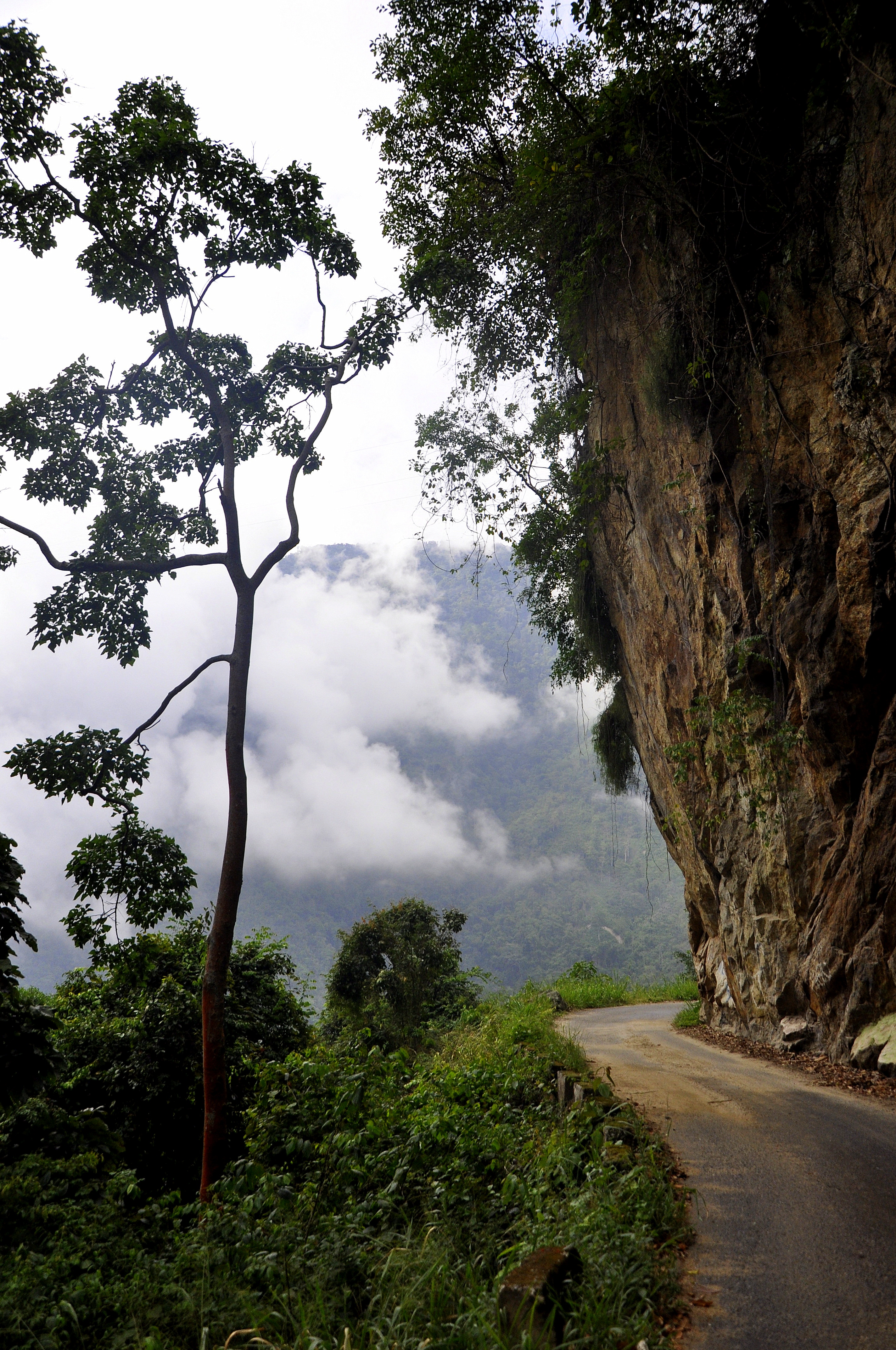
The cement had gone by now and I was driving on gravel and stones, always looking up for anything to fall down on me and looking down to estimate the depth, 500 meters at least. I did not count the numerous crosses along the road but I was now aware that both reasons up or down, were fatal and would almost guarantee your death. I found myself in the worst adventure of my project.
It got worse and after a short drive downhill and over a bridge I had to make it in a curve up the hill. 15 % inclination, loose gravel mixed with big stones. I did not make it and had to go back the 30 km I had made so far in more or less two hours. I passed the red 4 x 4 that was kind of going with me the last hour. I explained, but he convinced me to try again, as from that point onwards I would find again cement all the way to mountain pass “The Eagle”.
I turned around and managed the impossible and really the cement started again and I reached a small village. It was late afternoon by now, but I had to go for another hour and a half. I prepared myself for the clouds and the rain and darkness. Time passed and I drove tense into the night and finally reached the pass.
The police was already waiting for me; they had received a call from someone about a crazy German tourist with a regular car trying the impossible. They kindly asked me to get out of the car and I felt the five degrees temperature at the 4000 meter “The Eagle” pass. They had to check everything but still were amazed about my effort and success. Another hour downhill to Merida and I deserved my special hamburger menu tonight.
Please click on “View Album” to see pictures in a Google+ Album.
For a small understanding of the days travel, I have included a Google Earth map. The red pins mark the locations I have stopped and taken pictures. At the bottom of the page you will find a link for all the pictures I have taken. The link will open in a Google+ Album.
Please click on map to enlarge!!!
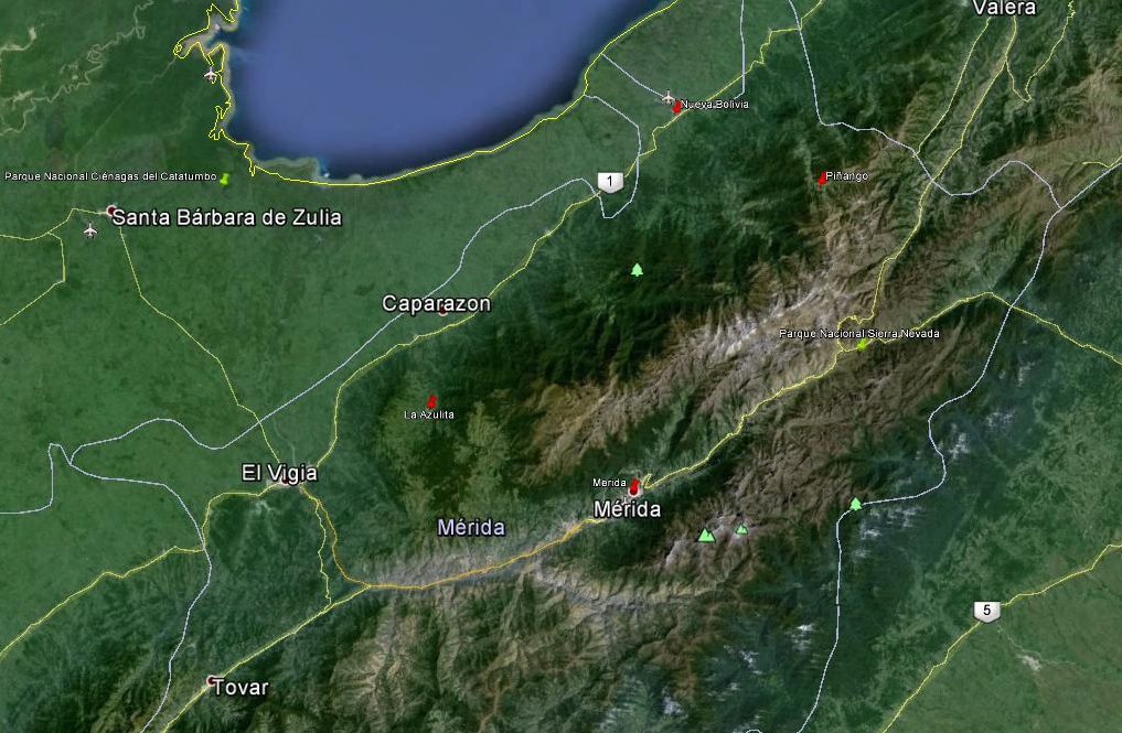
See map and distances / Siehe Karte und Entfernungen / Ver mapa e distâncias / Ver mapa y distancias
0 km Merida
90 km La Azulita
205 km Pico del Aguila
340 km Merida
Please click on “View Album” to see pictures in a Google+ Album.

Leave a Reply