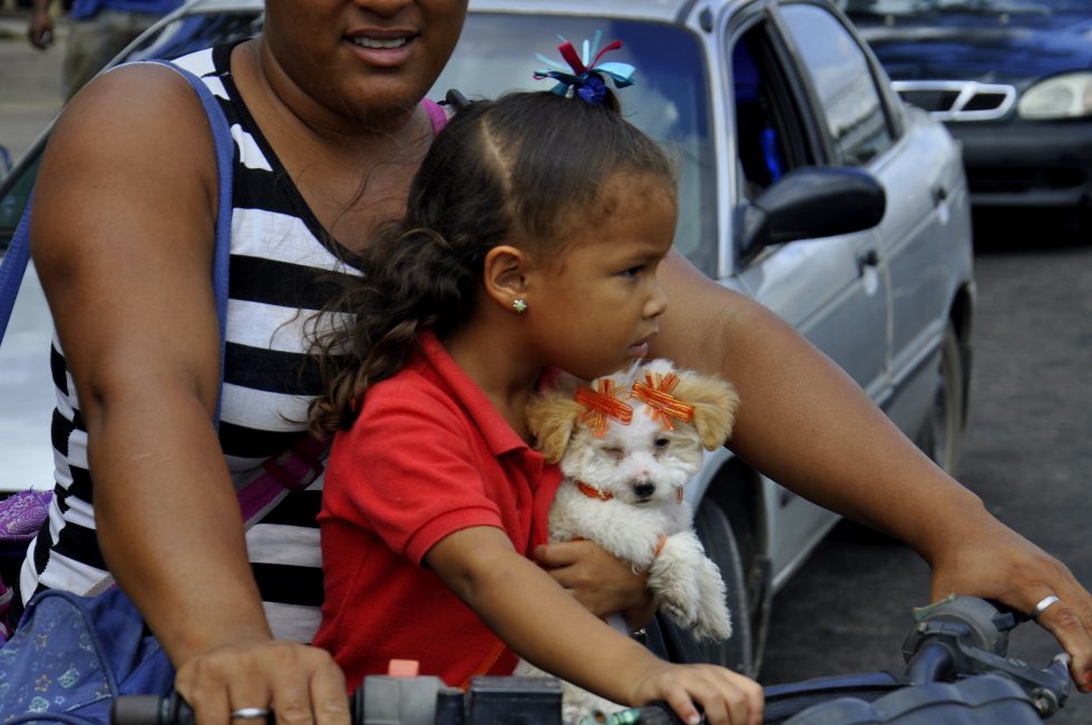
I went first into the airport to have a drink and to search for a plug to charge the battery of the camera. The whole airport did not have a single plug available. Between the male and female bathrooms were two automatic water dispensers, a lower one for children and a normal one for adults and someone had already unplugged the children unit, so I unplugged the adult unit and charged the battery for fifteen minutes to have at least enough energy for the day; a full day of just driving.
The drive from the airport through the city was extremely slow due to the morning traffic when everybody is on the way to work. I drove about one hour before I slowly came to the outskirts of the city; Ciudad Guayana is a funny city creation actually joining the old town of San Felix and the newly built town Puerto Ordaz. I stopped at the next gas station to fill up the tank and I was ready for the second longest day tour within Venezuela; a full day of just driving.
Please click on “View Album” to see pictures in a Google+ Album.
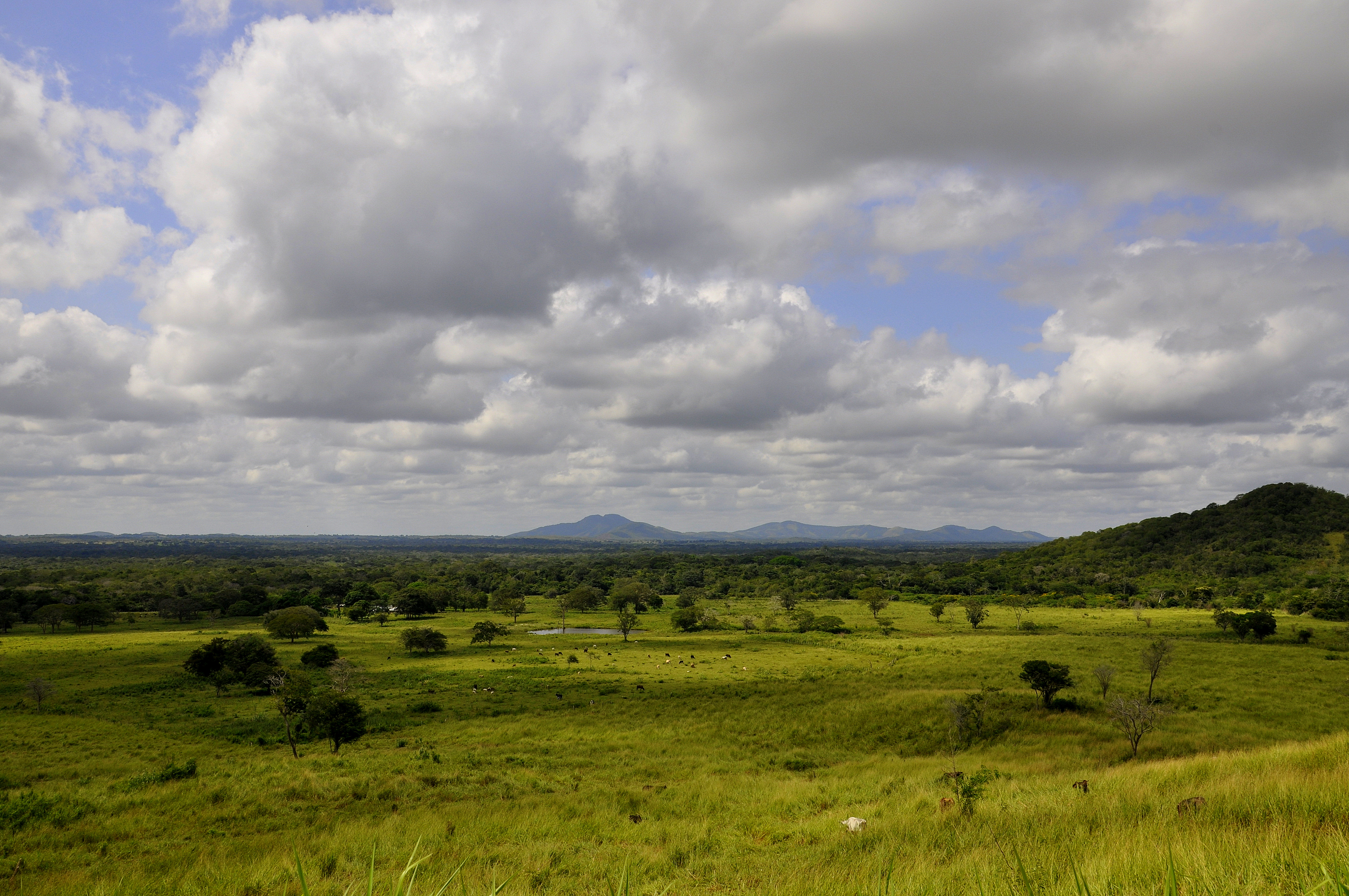
Soon after the city various road signs were showing the National Park Canaima or the city of Santa Elena de Uairen. The National Park Canaima included the Gran Sabana, The Mount Roraima and Angel Angel amongst many other smaller and unknown attractions. Due to mystic indigenous history and the shape of the tepuy, the “house of the Gods”, mountains like Mount Roraima made the National Park Canaima famous and desired not only in Venezuela but all over the world.
Please click on “View Album” to see pictures in a Google+ Album.
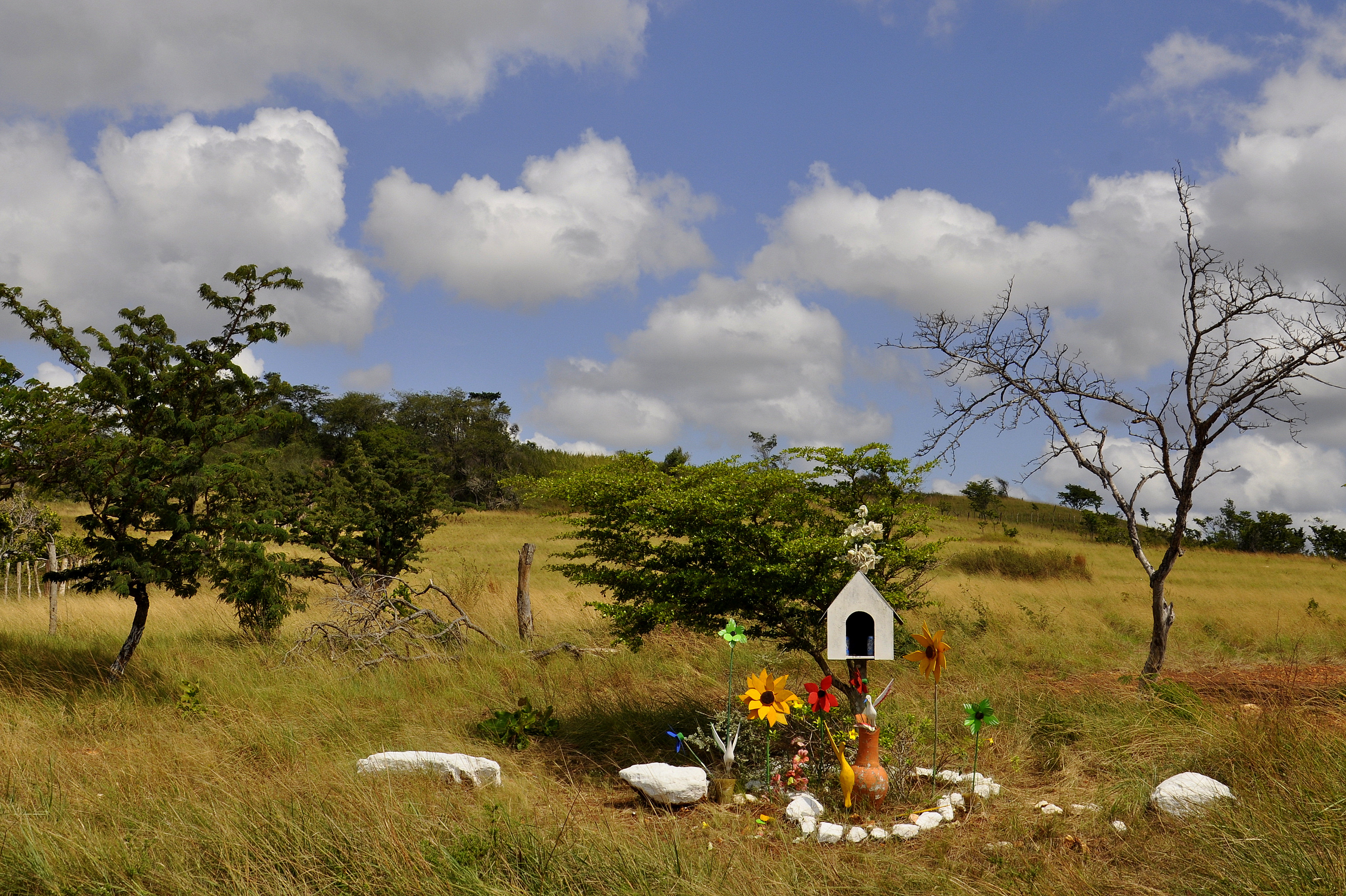
The total distance to Santa Elena de Uairen was given with seven hundred kilometers but I wanted to stop in Kamoiran in order to fill up the tank one more time before actually coming to Santa Elena de Uairen. Due to being a border city Brazilian license plates were not allowed to fill up gas there. At the same time I wanted to inquire about the possibility to buy a tour up to Mount Roraima; Kamoiran was kind of the first indigenous village close to Mount Roraima from where group tours could be starting. I stopped at several villages on the way to have a snack or a drink and to have a little bit of a change to the stiff driving; a full day of just driving. I passed several memory crosses for people who had an accident on the road, old, young, couples, relatives, fathers and sons.
Please click on “View Album” to see pictures in a Google+ Album.
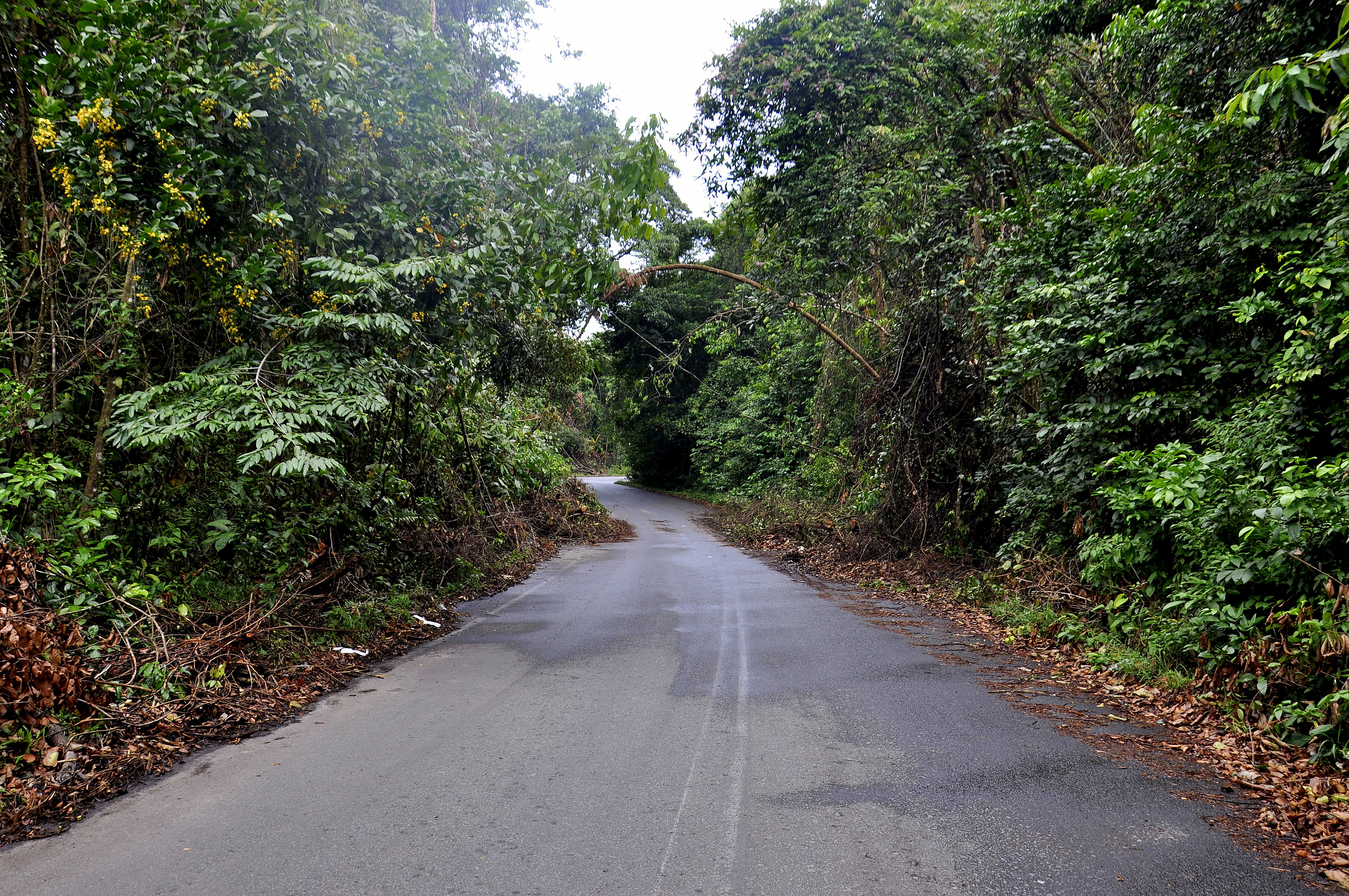
Before entering finally the National Park Canaima I passed again the city of Las Claritas, the gold mining city which had a very rough appearance, dirty, disorganized, hectic, suspicious and dangerous. I had taken pictures last time and stopped just to have another drink before going up the mountains and into the Park.
The weather started to change and the first rain drops fell when I reached the peak of the Lema Mountains and yet another military post. The road went downhill and into the great open savannah with endless open views and straight roads all the way to the horizon. I reached Kamoiran too late and the gas station had closed. The sergeant offered me to turn back to the last military post; they would open their gas station at 18:00 for two hours. Kamoiran gas station had petrol; I wanted to stay for the night and fill up the car tomorrow morning. The restaurant was operated by indigenous and I had the chance to start my inquiry. I had a quick conversation with the waiter; the main village for group departures to Mount Roraima is Santa Elena de Uairen and the main village to leave the highway and enter the track for the last kilometers to the base station is San Francisco de Yuruani.
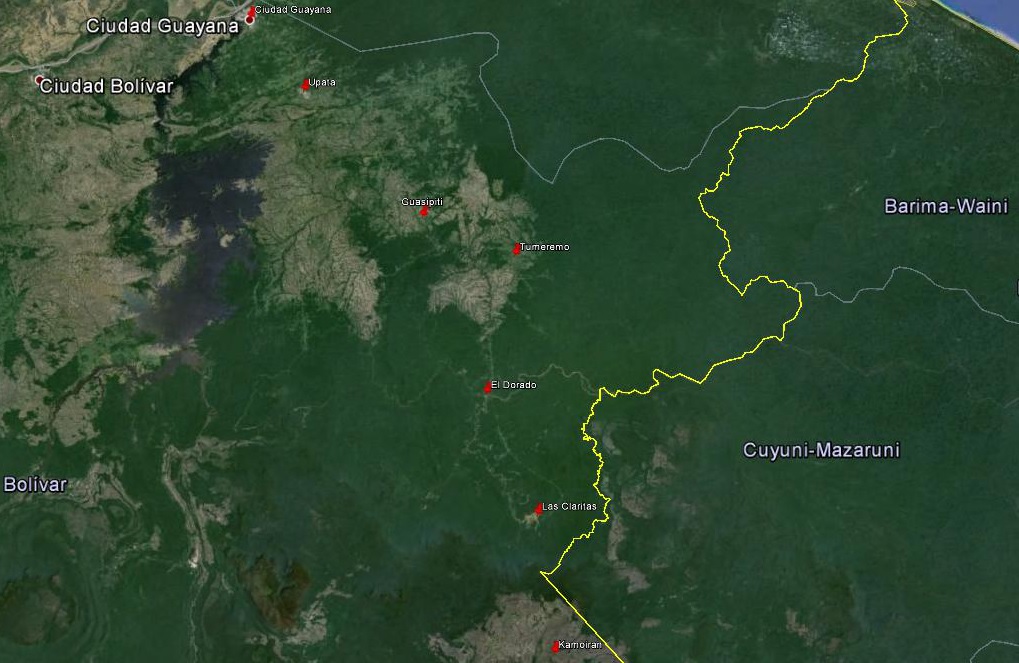
For a small understanding of the days travel, I have included a Google Earth map. The red pins mark the locations I have stopped and taken pictures. At the bottom of the page you will find a link for all the pictures I have taken. The link will open in a Google+ Album.
Please click on map to enlarge!!!
See map and distances / Siehe Karte und Entfernungen / Ver mapa e distâncias / Ver mapa y distancias
o km Ciudad Guayana
70 km Upata
170 km Guasipati
225 km Tumeremo
290 km El Dorado
385 km Las Claritas
455 km Kamoiran
Please click on “View Album” to see pictures in a Google+ Album.

Leave a Reply