Before I could leave the airport and move on I had to recharge the battery for the camera, a daily necessity for quite some time now. The bus stop was right at the entrance to the airport and only a handful of people were waiting together with me for the right bus. I wanted the bus that would take me to the main bridge across the river Magdalena and towards the city of Santa Marta. The next bus was mine and he took me to the intersection of the main road from the airport and the main road towards the bridge. The road to the bridge was very busy with traffic on the street and with people on the boardwalk. I had only walked for the first kilometer but it was almost midday and it was getting hot and I was getting hot and I had to have a drink.
Please click on “View Album” to see pictures in a Google+ Album.
I walked for about 5 kilometers before I reached the bridge; heavy construction was going on for a second bridge to duplicate the number of roads from 2 to 4. The river Magdalena was quite a wide river here, actually more a small delta. In the distant closer to the city I could see huge tanks of the petrol industry and a logistic port with big ships loading containers.
Please click on “View Album” to see pictures in a Google+ Album.
As I walked on the bridge I met several men fishing and in the middle of the bridge and the river on a small island farmers were working the fields; right next to a million inhabitants industrial city. The city did not continue to the other side of the river, no metropolitan area, no village, immediately rural area and one brand new gas station. I was hot and had to have a drink.
Please click on “View Album” to see pictures in a Google+ Album.

A gas station is a good place to try to hitchhike and even a better place if there is a nice shady spot to cover from the intense sun. I had to wait for about half an hour before a mother and her son invited me to join. It had been the son’s decision; he was enthusiastic and we had a conversation about Colombia, about Santa Marta, about the Sierra Nevada de Santa Marta, about the National Park and about my project Rio 2016.
Please click on “View Album” to see pictures in a Google+ Album.
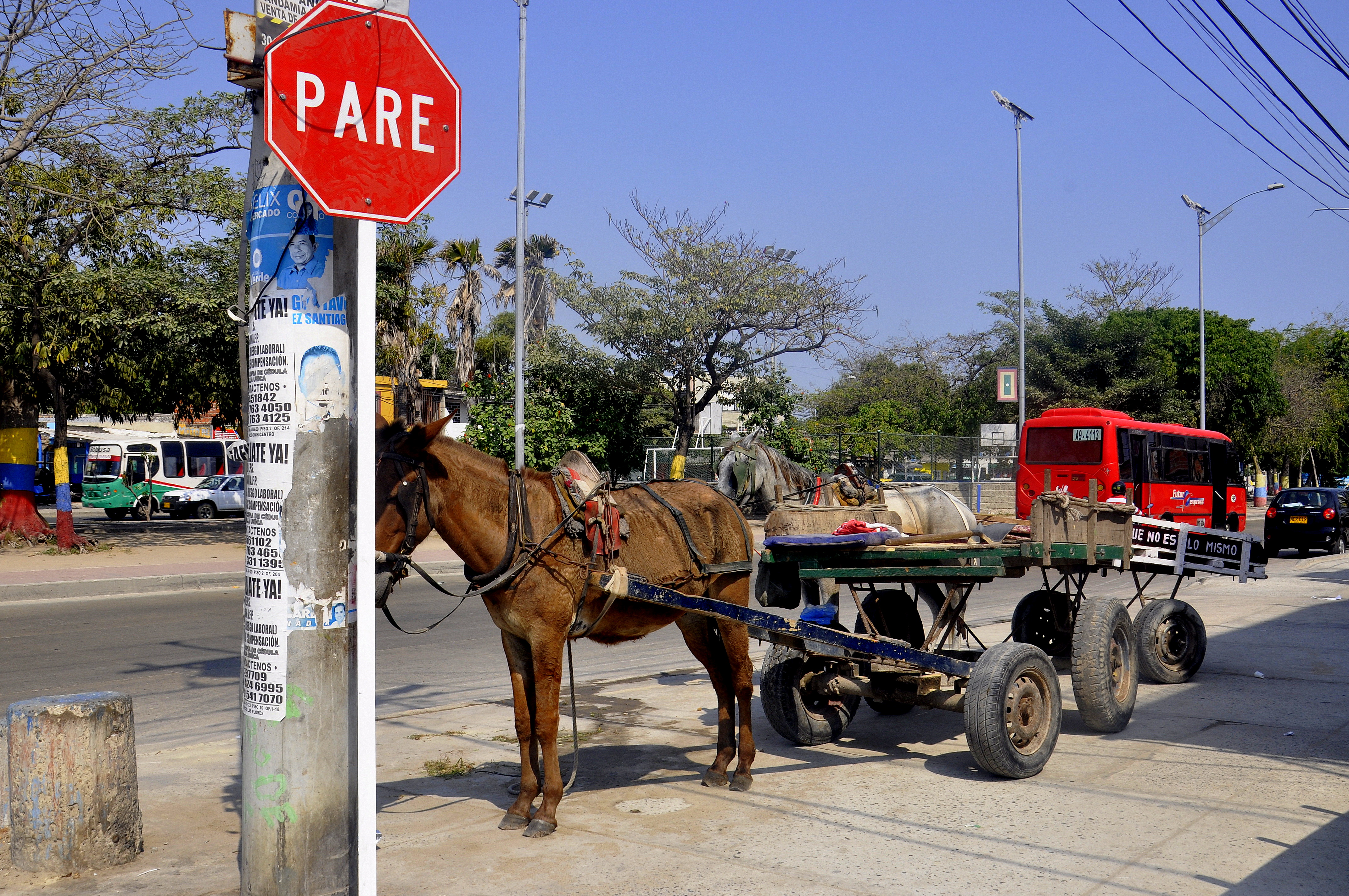
The mother was quiet and had to listen; she was not feeling 100 % comfortable about the Gringo in the car. They were in a hurry and the son was driving way above the allowed speed limit of 80 km/h. He overtook several cars, cars that probably had passed me and seen me hitchhiking before at the gas station. We arrived at their final destination Cienaga approximately 35 kilometers before Santa Marta.
Please click on “View Album” to see pictures in a Google+ Album.
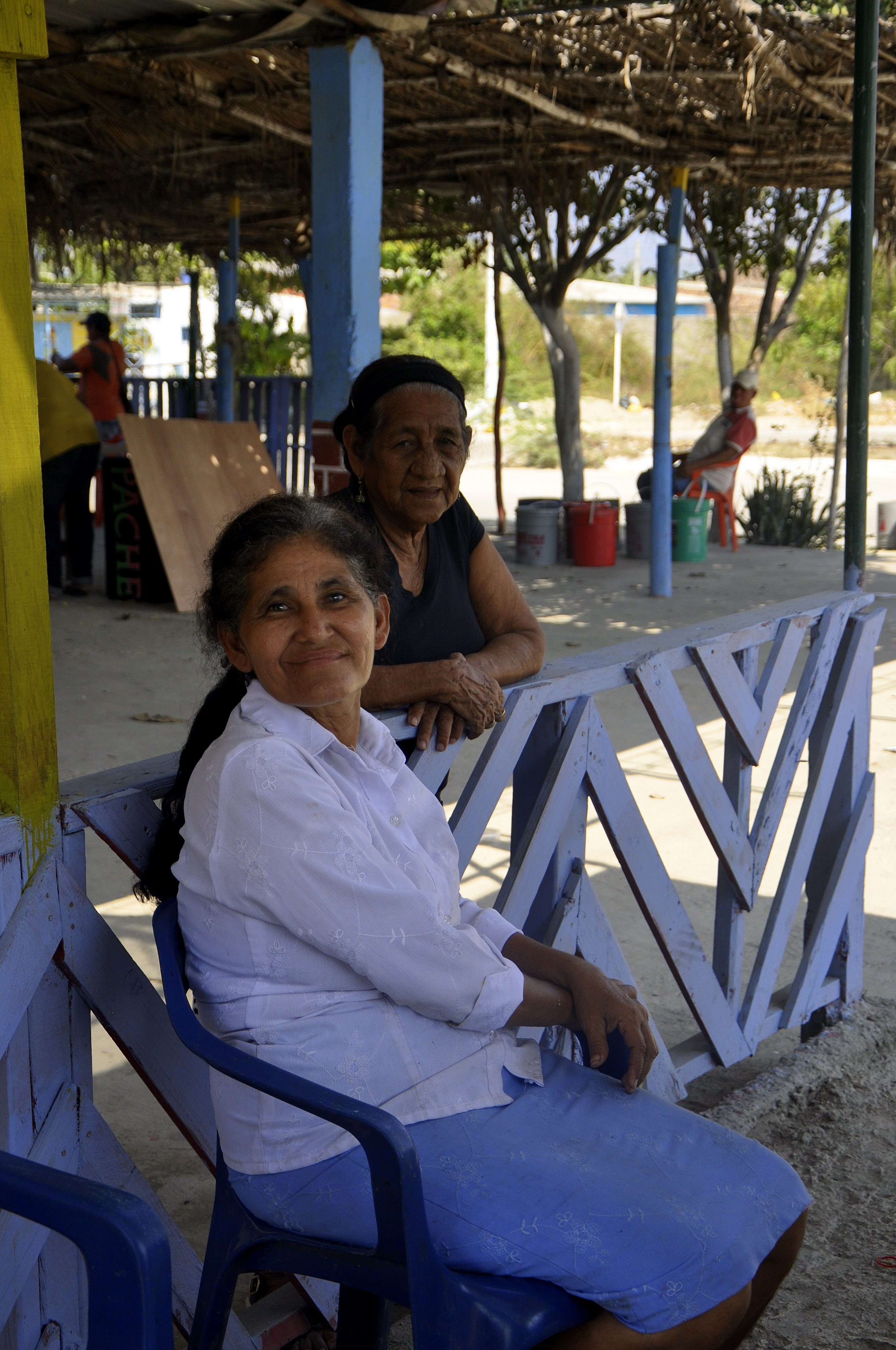
I walked along the main road and looked at all snack bars and restaurants for a cheap snack; I was searching for a Colombian potato. Almost at the end of the city a woman was sitting behind her small stand with a small display and only a few snacks left but she had my Colombian potato; I had one and a cold Avena drink. The price was even less than I had paid at the snack bar at the airport in Barranquilla and so I had another Colombian potato before I continued.
I passed the main intersection and had now only the cars on my side of the road that really went towards Santa Marta. Just 15 minutes and I had a lift to Santa Marta; I had a tourist guide, a man who explained me the attractions of the city and the nearby National Park Tayrona. It was just a short drive to the entrance of Santa Marta and I left the car with final recommendations regarding the fisher village of Taganga.
Please click on “View Album” to see pictures in a Google+ Album.
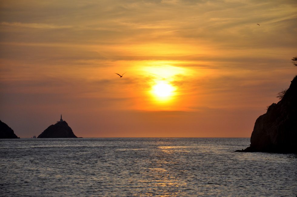
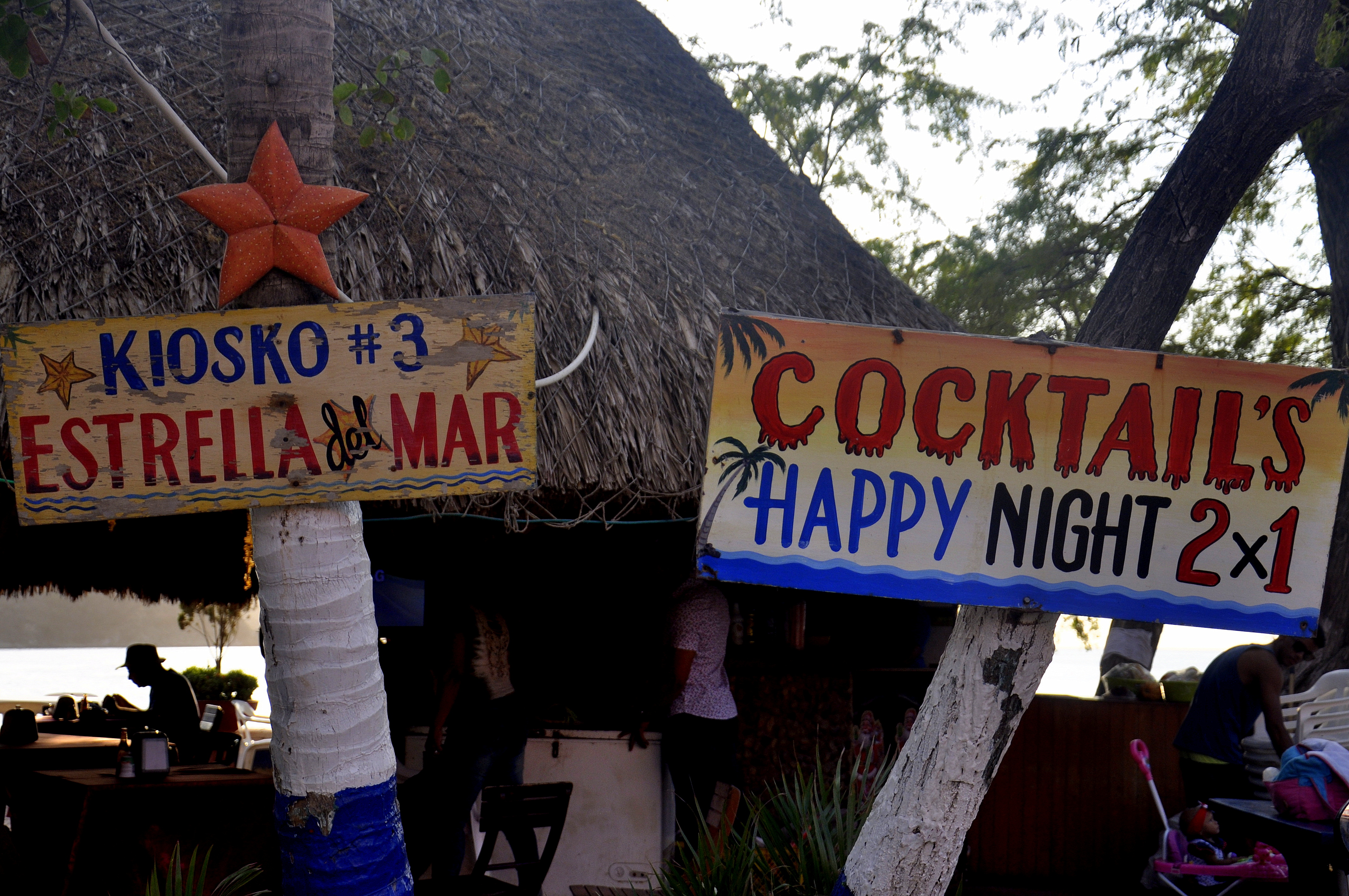
I crossed the street and took the first bus to the center and realized that the final destination of this bus was Taganga. I did not ask myself why but I passed the center, the extremely busy main commercial street and stayed in the bus until Taganga, a fisher village full with backpackers from all over the world. I walked up and down the small promenade and sat down at the beach to wait for the sunset, an amazing sunset, set perfectly in the bay of Taganga. I went to the football pitch of the village and watched the tournament from the balcony and stayed for the night.
Please click on “View Album” to see pictures in a Google+ Album.
For a small understanding of the days travel, I have included a Google Earth map. The red pins mark the locations I have stopped and taken pictures. At the bottom of the page you will find a link for all the pictures I have taken. The link will open in a Google+ Album.
Please click on map to enlarge!!!
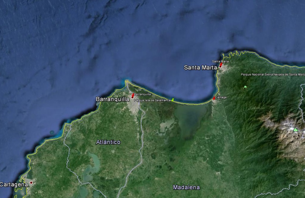
See map and distances / Siehe Karte und Entfernungen / Ver mapa e distâncias / Ver mapa y distancias
0 km Barranquilla
75 km Cienaga
130 km Santa Marta
Please click on “View Album” to see pictures in a Google+ Album.

Leave a Reply