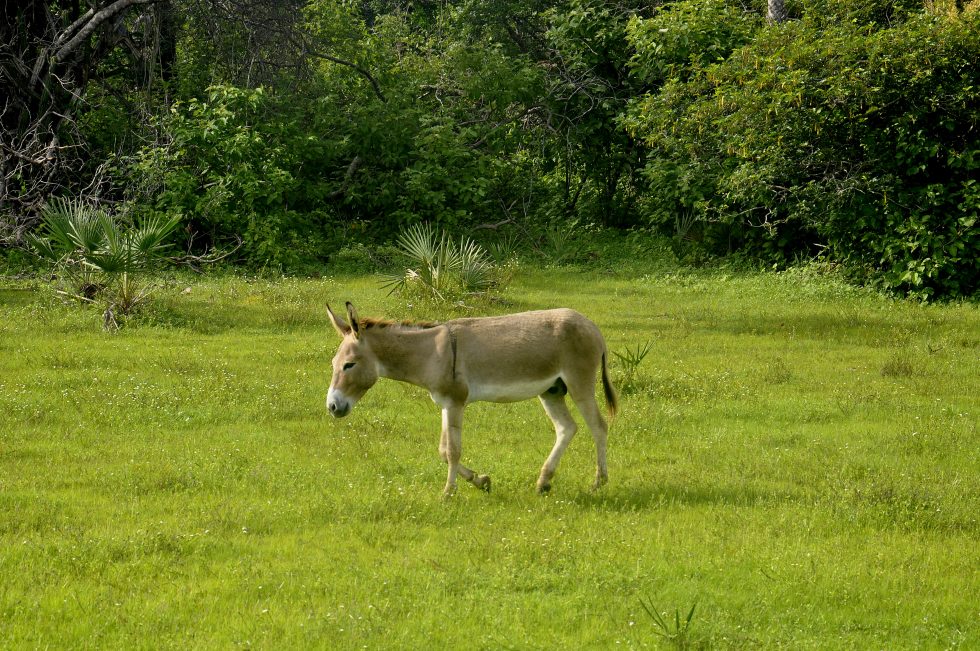
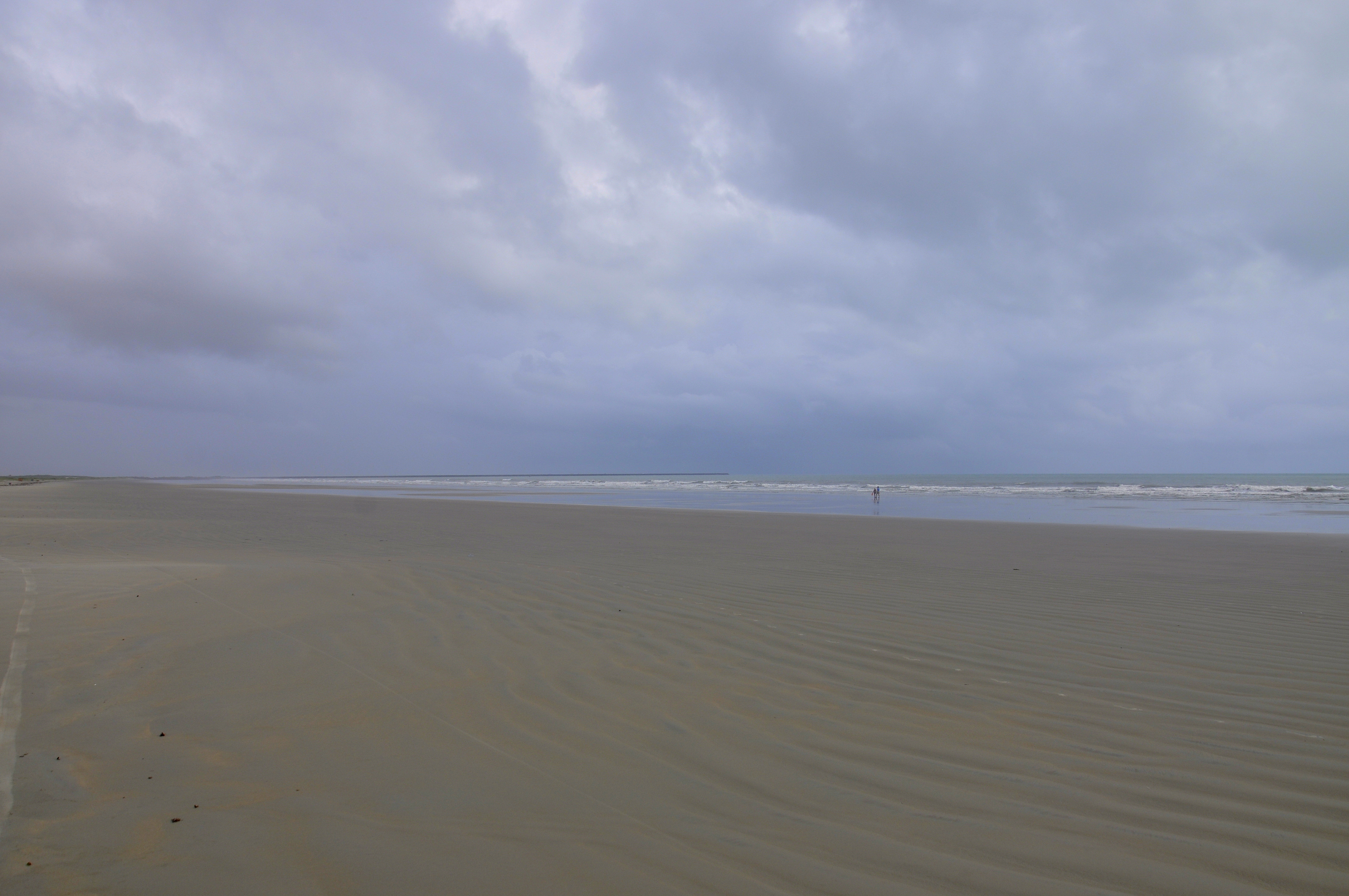
I thought I had to give up my nice place underneath the palm tree roof last night and move to the wooden terrace of the beach bar but I resisted the few raindrops that made it through and very quickly the few dark shower clouds moved on and I continued sleeping. I woke up and realized that my place had been an excellent choice. It was a grey morning, the tide was low and the beach empty, the sand dark brown but the extensions and the beauty of the beach and the good vibrations impressed me. Maybe I was just overwhelmed to see a sand beach again after almost 1 month on the Amazon River and the Amazon rainforest, just maybe.
Please click on “View Album” to see pictures in a Google+ Album.
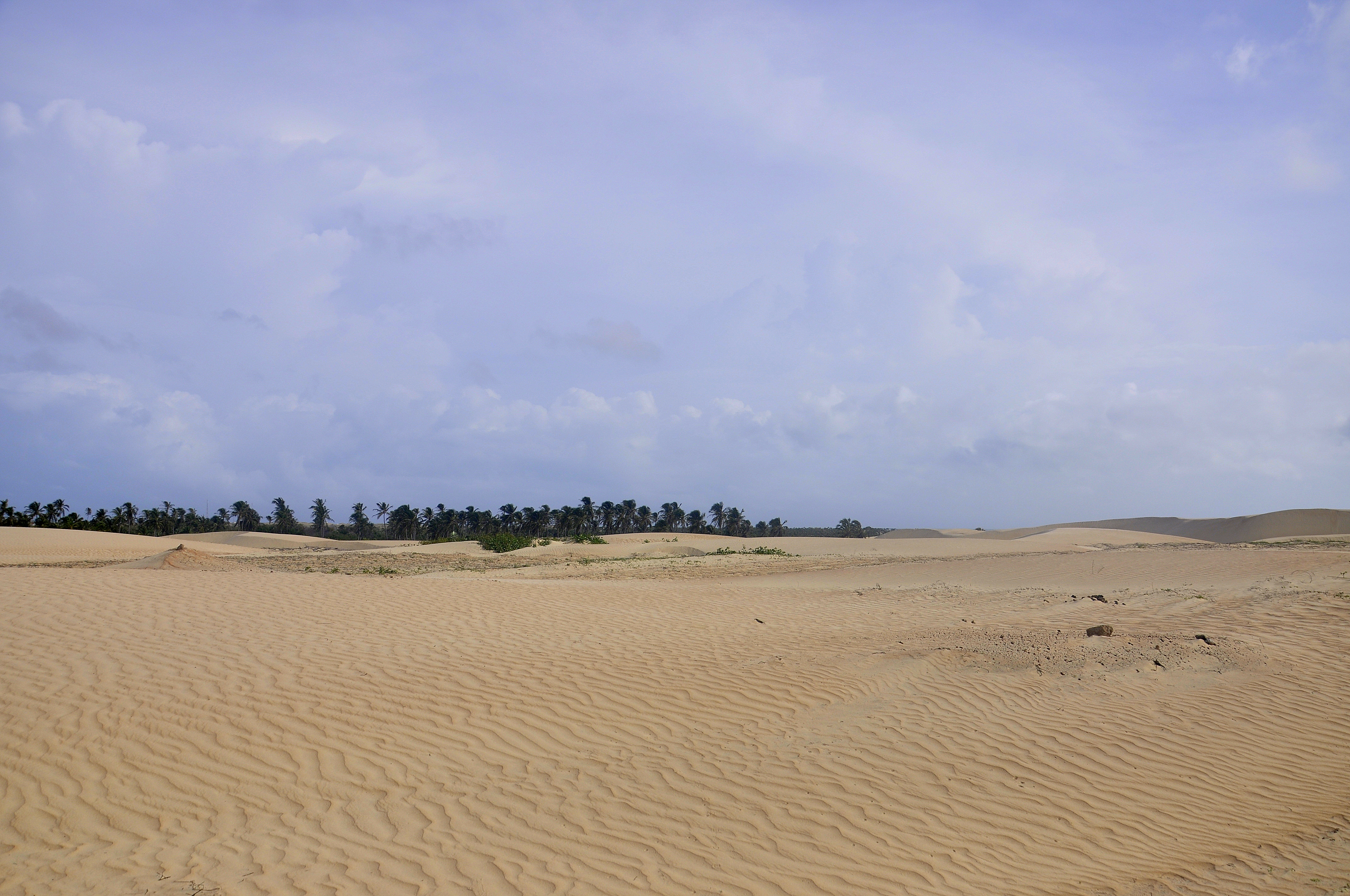
The whole coastline of Piaui all the way to the border of the state of Ceara was a beautiful dune area. Surprisingly this region had been developed with a certain planning, a sense of organization and quality material. The panoramic street through the dunes was quiet new and very well maintained; I had been advised to ask the locals about the street condition and especially about the maintenance, the continuous wind used to cover the streets with sand rather quickly and could make a drive for a normal car quiet difficult or even impossible. The street was perfect and more than that, it took me right through the impressive dune nature.
Please click on “View Album” to see pictures in a Google+ Album.
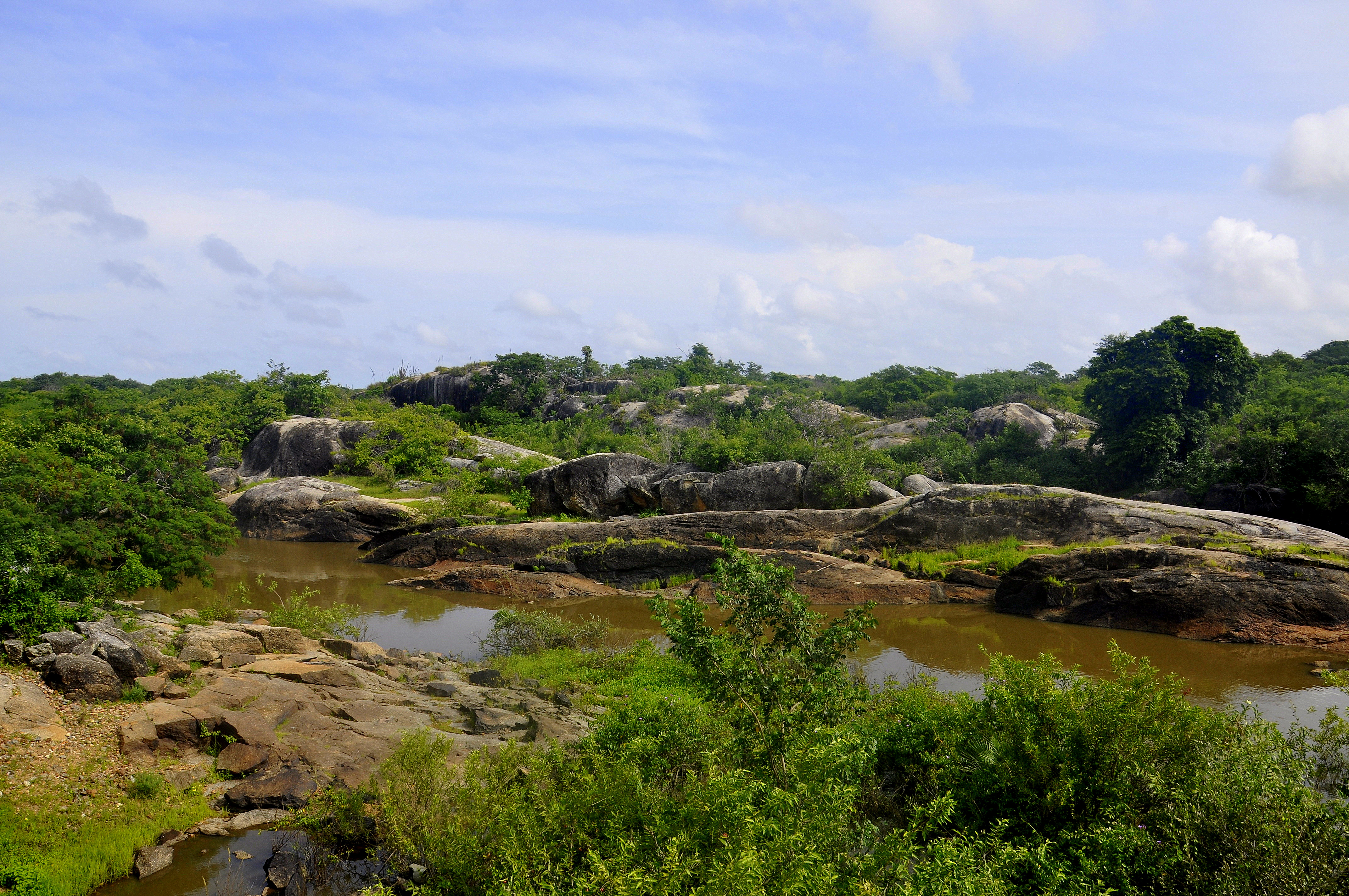
I was back in the northeast of Brazil, the region of the dunes and sand beaches. The coastline of the state of Piaui is only 100 kilometers and after driving just 2 hours through beautiful nature, the signboard for the border between the state of Piaui and the state of Ceara was in front of me. The border was a small bridge, a small stream flowing between round shaped rock formations and a small welcome sign. Ceara is 1 of the neighboring states of my home state Rio Grande do Norte and after having crossed the border I became the feeling that I was close, quiet close, very close, that I was close to home and my baby Matilda.
Please click on “View Album” to see pictures in a Google+ Album.
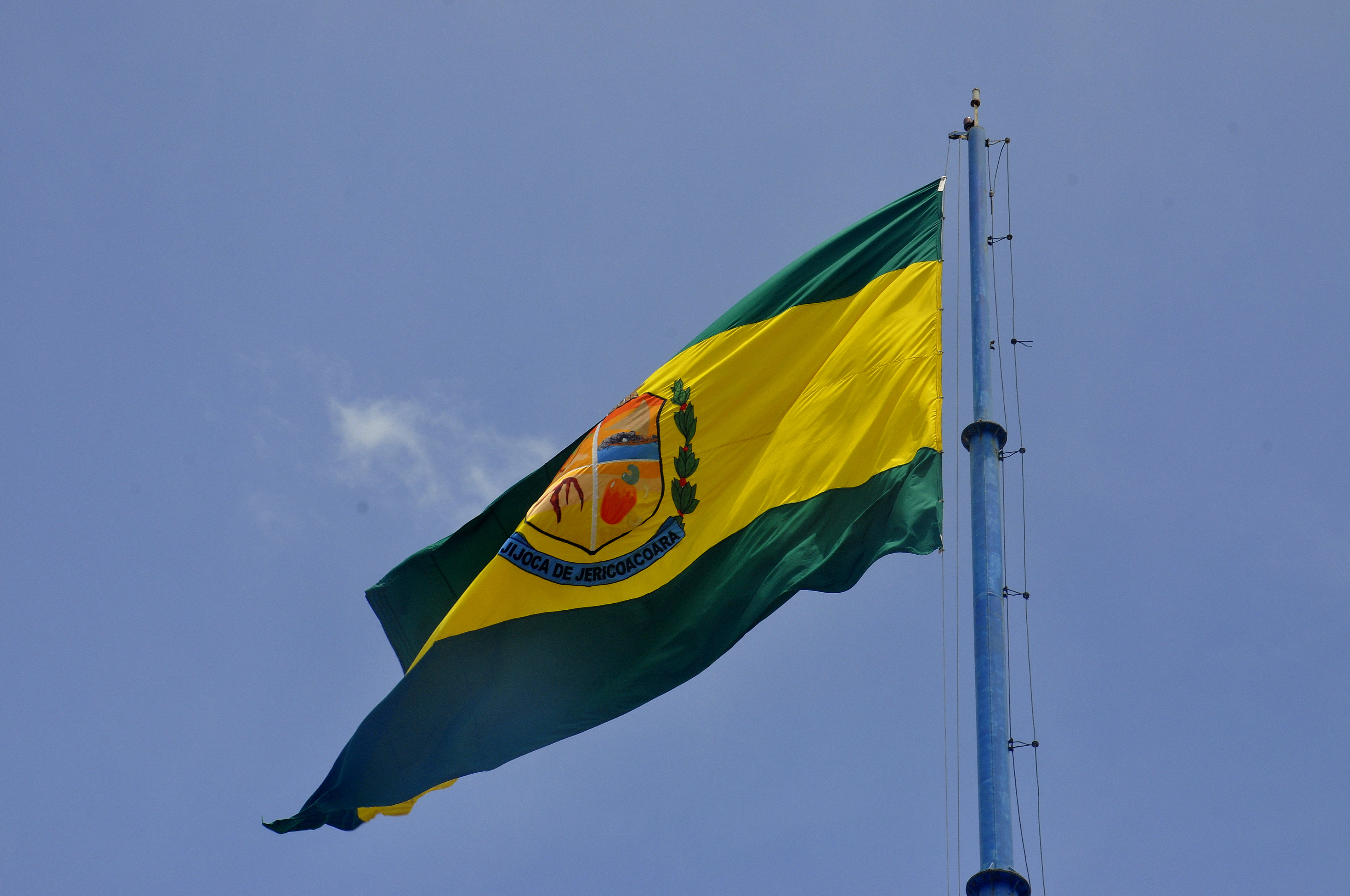
The area started to become familiar; I had visited the northeast and particular the state of Ceara several times before and I had a good idea of the distances, I could decide on today’s destination, today’s beach. I had driven yesterday and the day before 600 kilometers and I wanted to drive the same distance today again. I drove passed Jericoacoara, reached Fortaleza just before the rush hour of the evening traffic, drove on the bypass without traffic jams or accidents and finally decided to stay in Canoaquebrada for the night.
Please click on “View Album” to see pictures in a Google+ Album.
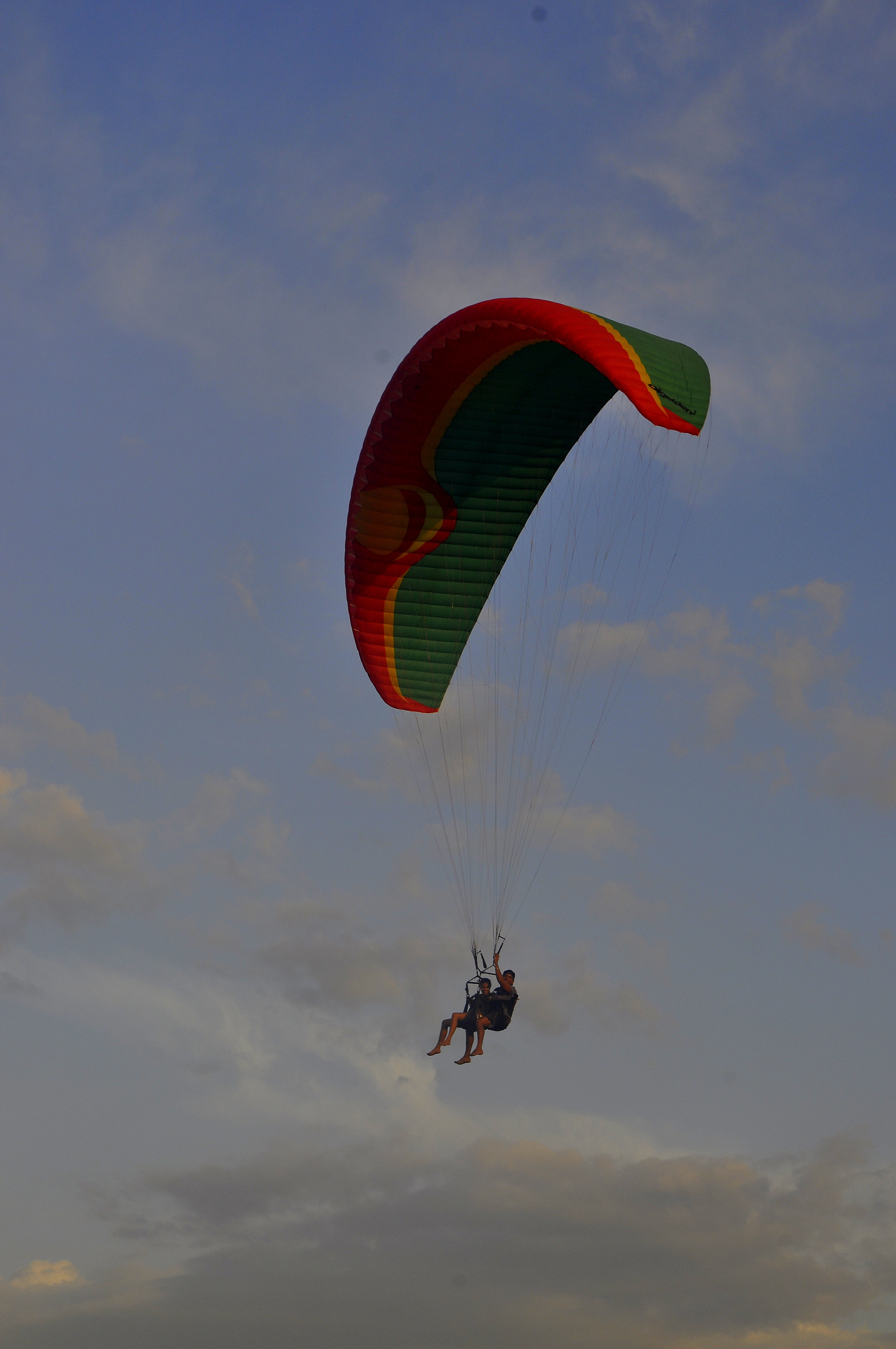
I arrived at sunset, quickly drove to the beach and had the chance to watch the paragliders fly into the orange, then red and then violet evening sky over the cliffs of Canoaquebrada. I went back to the center, parked the car in front of the 4 star hotel and used my robbery in Quito story to receive the internet key. The receptionist initially wanted to follow the strict hotel policy, only give the internet access key to guests and I had to create on top of my story some urgency to convince her to make an exception for this hungry and sad looking Gringo.
Please click on “View Album” to see pictures in a Google+ Album.
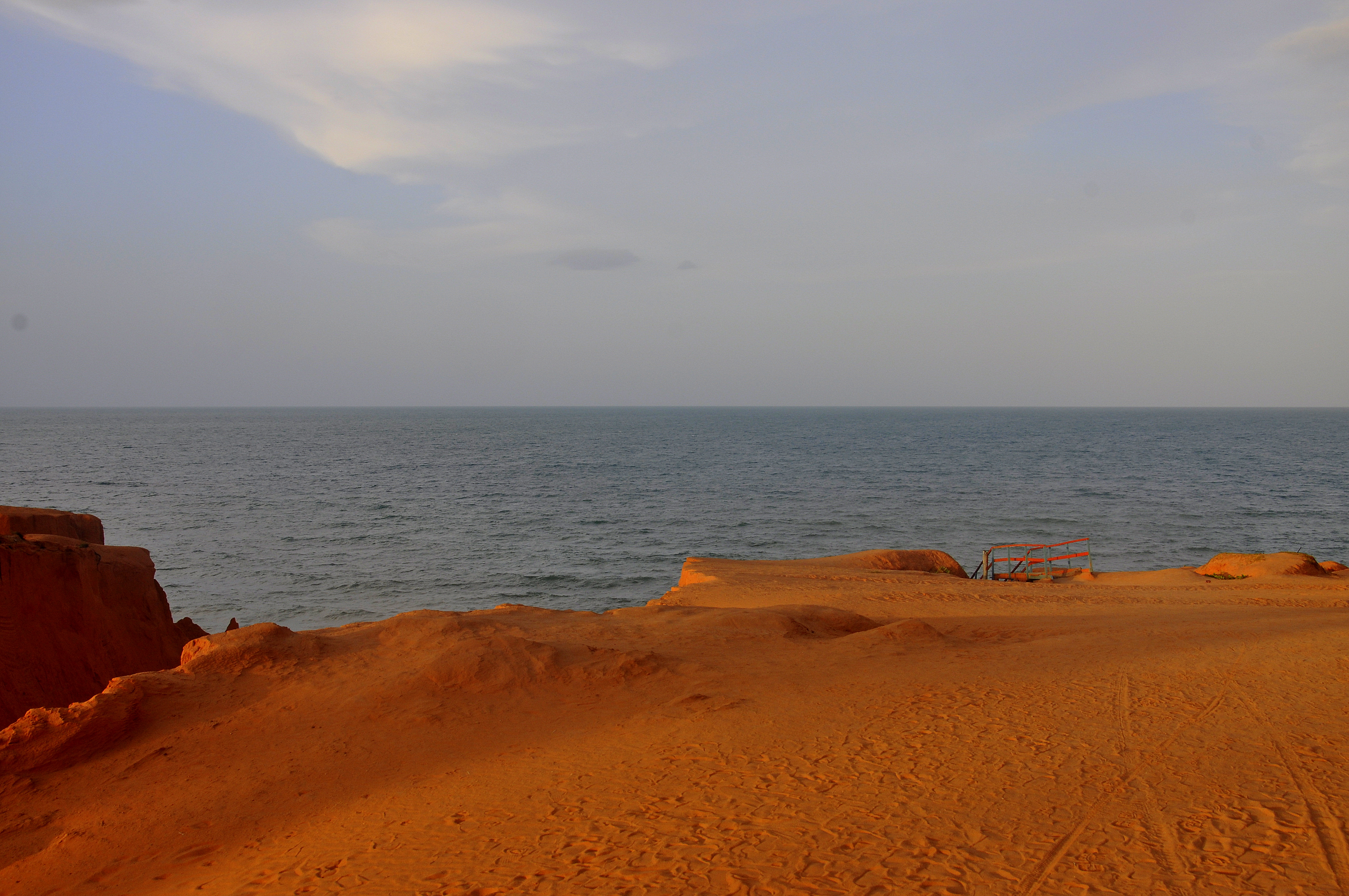
I actually was hungry and spent some money in the nearby bakery; I had some dry bread and 1 liter of Coca Cola for dinner. I wanted to stay the night as close to the water as possible and sleep outside to enjoy the fresh and cool breeze through the open window. I drove to the parking next to the cliffs and found an even better place for the night, an empty, 3 by 3 meter simple shed with a simple palm tree roof. The distance between the supporting wooden bars was perfect for the hammock; the location perfectly away from the houses and perfect views towards the sea, hopefully for a perfect sleep.
Please click on “View Album” to see pictures in a Google+ Album.
For a small understanding of the days travel, I have included a Google Earth map. The red pins mark the locations I have stopped and taken pictures. At the bottom of the page you will find a link for all the pictures I have taken. The link will open in a Google+ Album. At the top right of this Google+ Album you will find the button for a Slideshow.
Please click on map to enlarge!!!
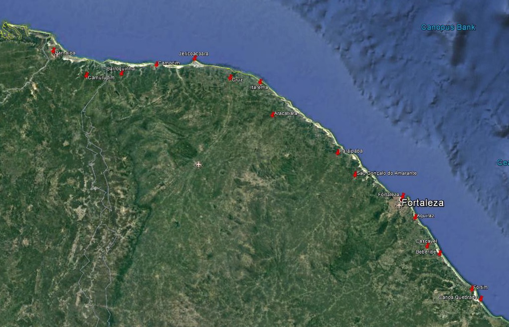
See map and distances / Siehe Karte und Entfernungen / Ver mapa e distâncias / Ver mapa y distancias
0 km Parnaiba
45 km Camurupim
95 km Barroquinha
130 km Camocim
155 km Granja
240 km Cruz
275 km Itarema
320 km Aracatiara
410 km Paraipaba
440 km São Gonçalo do Amarante
490 km Fortaleza
515 km Aquiraz
550 km Cascavel
585 km Beberibe
645 km Fortim
670 km Canoa Quebrada
Please click on “View Album” to see pictures in a Google+ Album.

Leave a Reply